A Complete Guide for Nar Phu Valley Trek
Nar Phu Valley
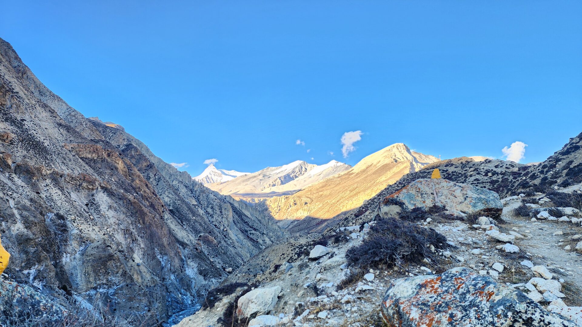
Nar Phu Valley, nestled in the Annapurna region of Nepal, is a remote and culturally rich area with a history dating back centuries. The Nar Phu Valley in Nepal was first discovered by Bill Tilman in the 1950s while he was walking through the highlands of Tibet. Inhabited primarily by Tibetan-descended communities, the valley remained closed to outsiders until 2002, preserving its unique heritage and way of life. The ancient villages of Nar and Phu reflect centuries-old Tibetan Buddhist traditions, with monasteries, chortens, and mani walls that tell the story of spiritual devotion. Historically, the valley was a trade route between Nepal and Tibet, facilitating cultural exchange and economic growth. Today, Nar Phu remains a hidden gem, where visitors can witness the harmonious coexistence of nature and an enduring cultural legacy.
Nar Phu Valley Trek – Escape from Nepal’s Apple Pie Annapurna Trekking Trail
Stop reading this blog right now if you enjoy hiking but can’t avoid Wi-Fi or Apple pancakes. The untamed, seldom-visited valleys of Nar and Phu, which branch off from Nepal’s renowned Annapurna Circuit, are gradually becoming accessible to independent hikers and provide a glimpse of one of the country’s most unexplored, Tibetan-influenced regions. Nar Phu valley was once only accessible by costly, porter-hauled mountaineering expeditions, but it is now more and more accessible to regular “carry your own pack” hikers. With the correct permits and a guide, it is now feasible to combine basic village accommodations into a low-cost seven-day teahouse-style trek that visits a series of stone-walled villages scattered throughout the Annapurna range.
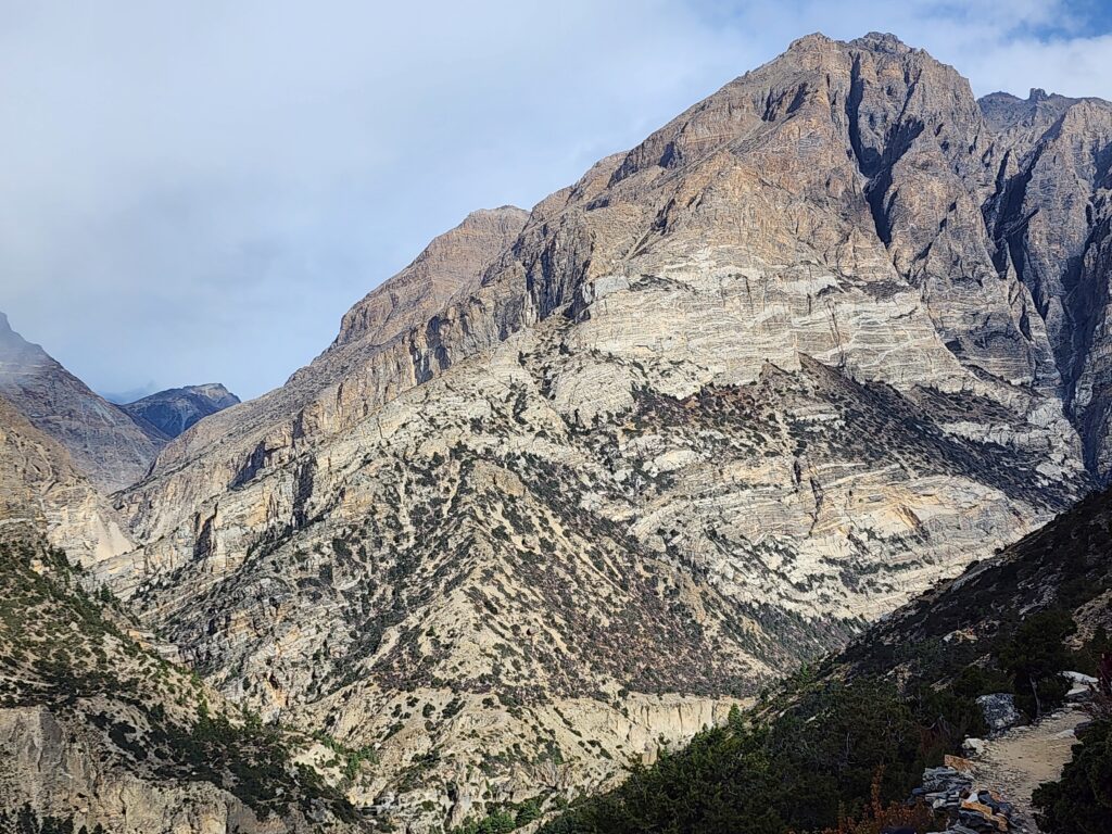
Leaving the Annapurna Circuit Trail
The first stops on your journey through Annapurna Circuit part one will be Besisahar, Jagat, Dharapani, and Koto. Leaving behind the creature comforts of pizza, apple pie, and Facebook updates, Koto is a small village on the Annapurna Circuit route, accompanied by a required guide. The number of hikers gradually decreased to a trickle after a few minutes of joining the unmarked, narrow trail. This ‘blink and you’d miss it’ track would see more porters than trekkers over the next seven days. All goods are transported to Nar Phu by mule, yak, or human muscle because there are no roads or mechanical transfers.
There wasn’t much to do but listen to the sounds of nature as they ascended through verdant conifer forests above the raging white water of the Nar Khola. Before the trailhead, which is a dizzying path towards the tree line, a group of simple teahouses (food stalls) provided a pleasant lunch stop. At a lone chorten (stupa), you will excitedly ascend the ridge and enjoy breathtaking views of the upcoming route, which includes distant, snow-capped peaks, brittle, jagged cliffs, and deep, tumbling gorges. You will rise significantly today from Koto to Meta (3530m).
We will see a dusty mule trail zigzagging west, high above the gravity-defying monastery of Mahendra Pul, also known as Nar Phedi, after traversing the stream on a shaky suspension bridge. However, that will be later in the journey. You must first traverse the arid hills and sheer rock walls of the Phu valley, which veers north toward Tibet. As I rolled into Meta (3530m), which is situated in a high bowl on the valley side and has just two lodges for lodging and dining, you could feel the elevation.
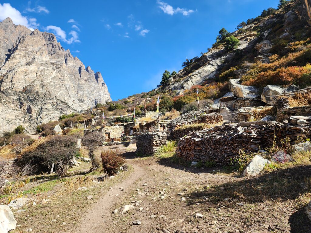
Striking north to Phu
An additional day for acclimatization is necessary. Usually, we schedule an additional day in Phu to give visitors time to explore the area, but if we feel that Meta is a good place to acclimate, we can stay an additional night there and kill time with a leisurely day hike to the base camp of Kang Garu peak (6981m). From there, we head north on a path that slowly twists towards Phu, dipping in and out of deep ravines. With incredibly eroded cliffs and twisted, stunted juniper bushes, the region has grown increasingly drier and rougher due to the Annapurna rain shadow.
On these rough paths, you may hear stones being loosened from above and catch a glimpse of the tahr (mountain goat) and naur (blue sheep), which are frequently spotted on the slopes. The trail eventually ascends to the elevated pastures surrounding the ruined Chyakhu (3700m), where a group of bhattis provide a welcome meal of daal bhaat, which serves as fuel for the last push to Phu. Follow a narrow, sheer gorge for a few more hours to arrive at Phu’s crumbling entrance gate. However, the village itself was still thirty minutes away, and when you eventually arrive at Phu’s lone lodge, you will be glad to drop the pack.
Because of the elevation (a giddy 4070m) and the time needed to explore the village, which consists of a stack of Tibetan-style mud and stone houses decorated with prayer flags and topped by piles of firewood, it is advisable to stay in Phu for two days. Further up the ridge, a series of steep switchbacks leads to the doorstep of Tashi Lhakhang Gompa (monastery), where a friendly nun occasionally offers a cup of butter tea and invites you to view the shrine’s inner sanctum. The upper part of Phu village was largely in ruins and suffered significant earthquake damage.
The ridges surrounding Phu could be explored for several joyful days by those with time. A more easterly path follows the glacial moraine to Himlung Base camp (4920m), while a wild trail heads north towards Tibet and descends from Saribung Pass above Tashi Lhakhang Gompa, which boasts 360-degree views. The bowl-shaped hanging valley, which clings enticingly to the terraced fields rising above Phu village, offers breathtaking views for less daring hikers.
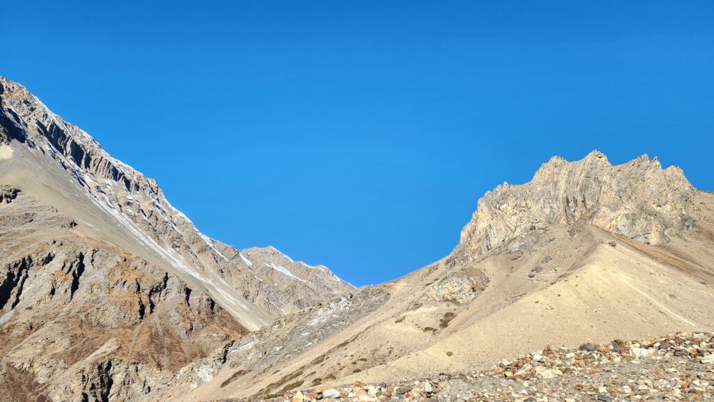
Winding west to Nar
Following your exploration of Phu, you follow the Phu Khola back to where you were before heading west on the same path that leads north. The picturesque monastery at Nar Phedi (3490m), perched on a tranquil ledge encircled by sawtooth pinnacles, nightmare ravines, and fluttering prayer flags, was reached by a low suspension bridge at the foot of eroded hoodoos. Despite their modest living conditions, the monks provide trekkers with simple lodging and meals, and before partaking in a filling communal meal, one can witness their evening puja (prayer) ceremony.
At this lower elevation, you might find it easier to fall asleep and be well-rested for the ascent to Nar. Before a bend in the trail reveals the verdant barley fields of Nar village (4180m), stacked against the hillside, a winding trail leads up above the clouds, past sporadic mule trains and an evocative octagonal chorten. You have plenty of time today to explore the dirt pathways that meander between old Kagyud school gompas and stone houses, and that evening.
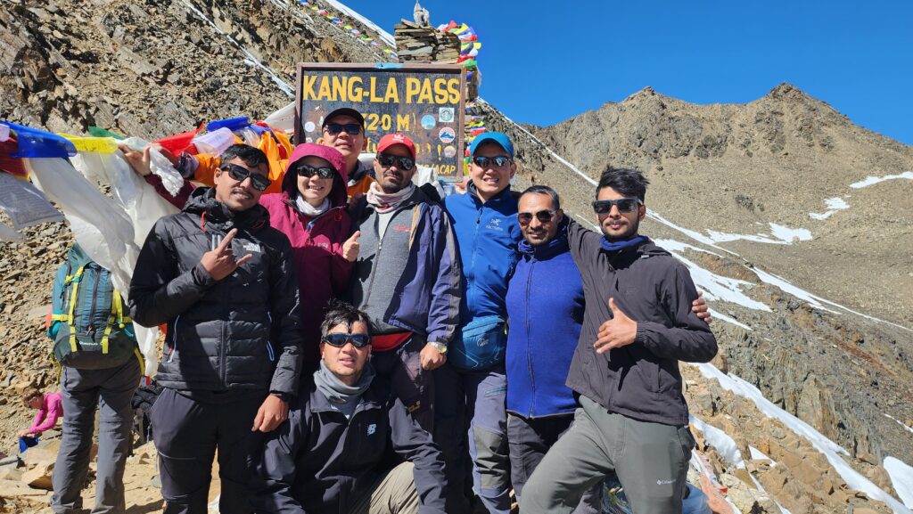
It is far more difficult to reach this high eyrie than the fabled Thorung La (5416m) on the Annapurna Circuit. Benign pastures above Nar quickly give way to rocky moraine and lost scree. A shoddily marked path winds past frayed prayer flags to a number of depressing false summits before eventually climbing the misty, knife-edge pass. Breathless, I stopped to look at the scenery and snap a congrats selfie on the boot-wide high-point. Two vertical kilometers below, you can see the main Annapurna circuit, the houses of Manang in the distance, and the narrow ribbon of Humde airstrip. The horizon is dominated by the snow-capped crags of Annapurna III and IV. In the event of bad weather and heavy snow fall, the exhilarating Kang La Pass might be closed.
Long days of strenuous trekking were anticipated on the last day, which included a cautious descent to the trek’s destination, Ngawal Ngawal (3750m). When you finally arrive in the village, where the Annapurna Circuit trinity of wi-fi, apple pie, and banana pancakes awaits, your knees might be nearly crumpled. You are delighted to return to the Annapurna Circuit trail after a week away from the apple-pie trail.
Nar Phu Trek Permit
Trekkers are only permitted entry into the Nar Phu Valley with a special permit, which can only be obtained from a registered trekking company that also arranges for the required licensed guide. Depending on the season, the Nar Phu permits costs between $75 and $90 USD. Since the permits are only good for seven days, you have to finish the trek within that time frame. There is a significant altitude gain from Koto to Meta, so it is important to be acclimated to conditions above 3000m before attempting this trek. Be mindful of the risk of Acute Mountain Sickness (AMS) on this route. One of many incredible routes that ascend through Nepal’s “restricted areas”—secluded valleys nestled against the Tibetan border—is the trek to Nar Phu. Former Buddhist kingdoms, ancient Tibetan gompas, and seldom visited valleys dotted with the footprints of infrequently sighted snow leopards are all within your reach if you have the necessary permits (and the money to cover the high fees).

